Founder Story
Blaeu Labs was founded by ocean technology enthusiast Daniel Schwartz to translate polar science into practical decision support.
Daniel Schwartz
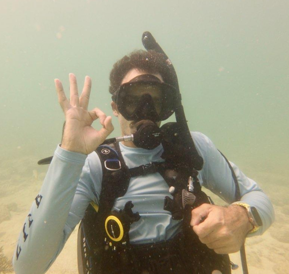
Daniel Schwartz is a systems engineer and ocean technology enthusiast who took it upon himself to uncover the mysteries of Arctic ice. A passionate diver, he applies his deep appreciation for the ocean to building systems that help navigate and protect the polar regions.
After graduating, he set out to blend fieldwork with software so polar crews could act on trustworthy data without waiting for seasonal reports. He founded Blaeu Labs to accelerate trustworthy ocean intelligence—fusing machine learning, maritime operations, and environmental stewardship so that innovation and habitat protection advance together.